The Development and Public Works (DPW) Department is organized into three divisions.
Community Development: looks at the long-term future of the community and how we might grow, and oversees changes to property inside the City or the Urban Growth Boundary around it. Jeff Paschall, Division Director
Environmental Services: protects Springfield’s water resources by managing a stormwater program and partnering in the regional wastewater program. Matt Stouder, Division Director
Operations: keeps the City’s systems- streets (including traffic signals), wastewater, stormwater- running smoothly. Brian Conlon, Division Director
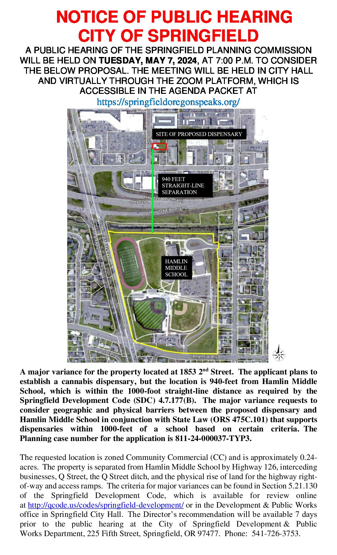
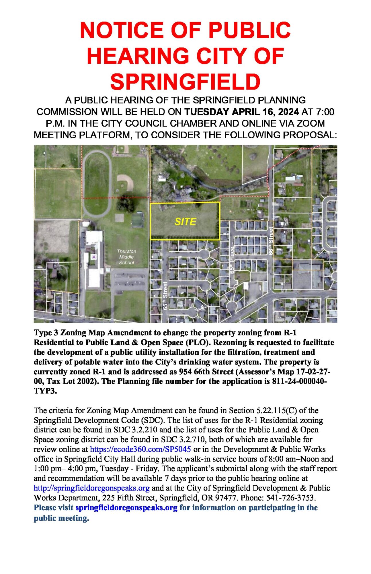
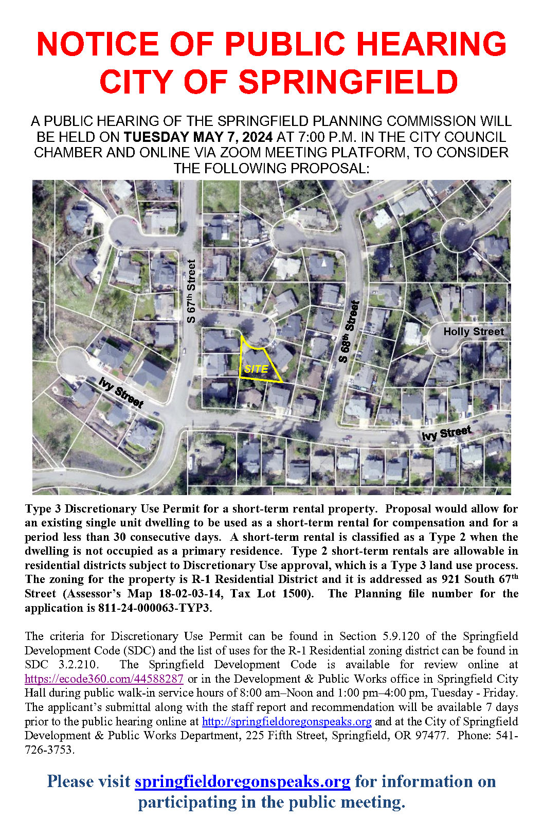
Public Hearings
General Information
Thank you Springfield voters for the passage of the GO Bond Measure 20-296! Now available, the 2022 Annual Report.
Our City Hall hours:
Our Development Center counter in City Hall is open from 8:00 a.m. to noon and 1:00 p.m. to 4:00 p.m. on Tuesdays through Fridays for walk-ins or by appointment.
Please visit our Development & Public Works Resource Center page for a full listing of current permitting information.
Additional information is also available on the following City of Springfield web pages:
Linda Lane Frequently Asked Questions
Learn more information regarding 34 acres of property located along Linda Lane, South of Mt. Vernon Road and east of Jasper Road.
Now Available
(Click the buttons to view)
Springfield’s Master Fees and Charges:
RV Occupancy for Private Property, temporary guidelines:
Floodplain Management information from FEMA, the City, and other agencies:
Projects Underway
Wastewater Master Plan Update
The City of Springfield is embarking on a project to update our Wastewater Master Plan. Through this work, the City will identify needed improvements to the local wastewater system, based on current conditions and anticipated growth over the next 20 years. The City operates a large wastewater collection system, which includes 250 miles of wastewater pipe along with pump stations.
Public Facilities and Services Plan
The PFSP 2022 Update project is intended to: incorporate plan revisions adopted by ordinance since 2011 that have not yet been incorporated into the PFSP document; revise, clarify, and update PFSP text to facilitate use by jurisdictional staff and the public; and update project lists and maps to reflect current facility master plans.
Comprehensive Plan Map Clarification Project
The Comprehensive Plan Map Clarification Project will create a property-specific Comprehensive Plan Map for Springfield. This map will add greater certainty to Springfield’s plan designations. Currently, the Metro Plan and its Diagram, i.e., map, serve as a combined Eugene-Springfield comprehensive plan to guide decisions about how to use land within the region.
Main Street Safety Project
Springfield’s Main Street is consistently ranked as one of the most unsafe city streets in Oregon based on the severity and frequency of traffic crashes. The City of Springfield and the Oregon Department of Transportation have launched the Main Street Safety Project to address this safety problem. Over the next two years, we will engage our Springfield community and do detailed analysis to identify [...]
Development Code Update Project
The Purpose of the Development Code Update Project is to change the Springfield Development Code to support efficient, timely, and clear development review. The updated Development Code will support Springfield’s economic development priorities and will honor Springfield’s home town feel now and in the future. Visit the project page here.
Our Latest Videos
Have you heard about UpStream Art?
Check out our newest video in our How To Series
A flashing yellow arrow allows drivers to turn left when there is an adequate gap in oncoming traffic. We encourage and appreciate citizen comments about their use. You can also view an animated example .
Visit our Traffic Safety and Control page for additional information.
Contact Us