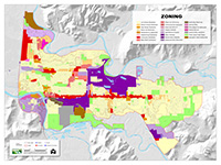
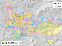
Maps
These maps are designed for internal use for the City of Springfield and are provided as a courtesy to the public. All maps provided should be used for reference purposes only, otherwise all information should be field checked and validated. Please read the Data Services Agreement.
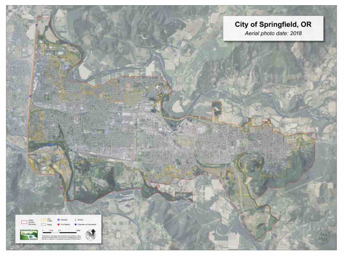
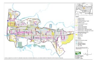
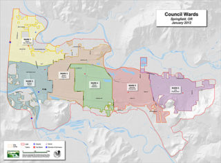
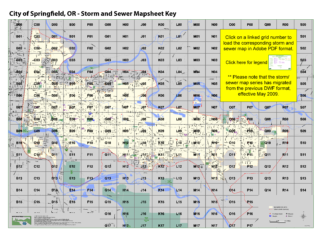
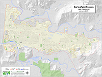
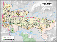
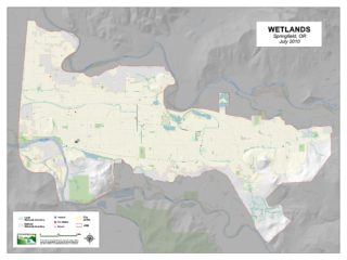
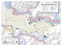
The following maps are available for download as PDFs and have been formatted to our standard 36″ x 48″ (ARCH E) page size, except for the City Hall Directions/Office Locator (letter size) and Wellhead Protection Areas (36″ x 60″).
If you would like to purchase a print of one of the maps below please contact Chris Zeitner (czeitner@springfield-or.gov); 541.726.3706, or Mike Engelmann (mengelmann@springfield-or.gov); 541.736.1016. PLEASE ALLOW FIVE (5) WORKING DAYS TURNAROUND TIME ON ALL MAP AND DATA REQUESTS.
Please note the City of Springfield will NOT provide data layers or maps for data that is not from our own source. For GIS layers or maps of potential landslide, earthquake or flood data, please refer to the appropriate agency that has created the data (e.g. FEMA, OR Dept. of Geology, etc).
Standard Maps
There are no warranties that accompany these products. Users assume all responsibility for any loss or damage arising from any error, omission, or positional inaccuracy of these products.

