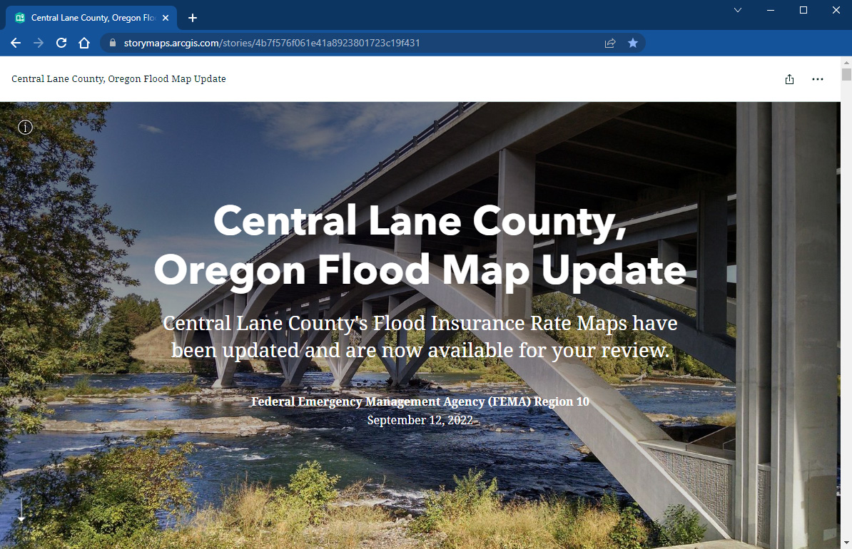
Springfield’s draft Flood Insurance Rate Map is ready for review.
Go to bit.ly/SpfldFloodplainMgmt to learn more about what this update means for you.
You can also attend an open house:
5:30 – 7:30 p.m. on Thursday, October 20, 2022
Goodson Room, Willamette Building
3040 N. Delta Highway
Eugene, OR 97408
Click here to view open house informational flier.
Background
FEMA is working with the state of Oregon, Lane County, the city of Springfield, and other local communities to update the Flood Insurance Rate Map (FIRM). This map uses new data and technology and will better represent the risk of flooding in Springfield.
The flood map identifies the areas with a high risk of flooding. If your home or business is in a special flood hazard area and you have a federally backed mortgage, your lender will require flood insurance. When the updated flood map goes into effect, flood insurance requirements for your property may change.
The current effective flood maps for the city of Springfield were developed in 1999. The new flood map will help better understand current flood risks and make more informed decisions about how to protect people and property.
At this time, the updated flood map is “preliminary.” This means that it is in draft form and open for public review and input. Once FEMA addresses all comments and appeals on the map, and Springfield and Lane County co-adopt the map, the new Flood Insurance Rate Map will go into effect.


