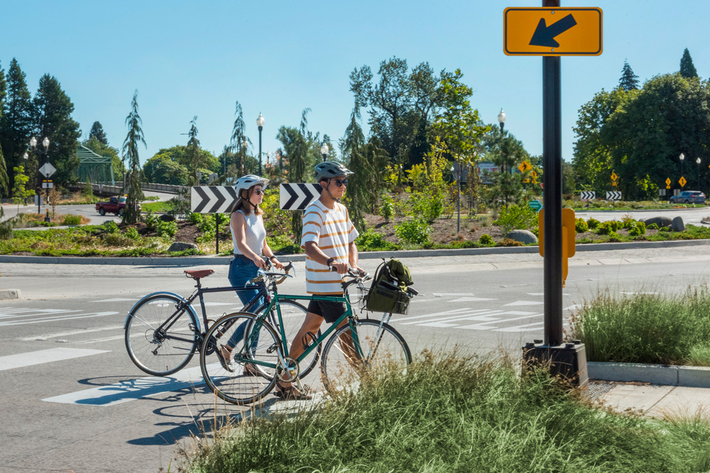
We’ve been working hard on upgrading our community’s infrastructure to make Springfield a safer and easier place to walk and bike! The City continually improves walking and biking transportation networks to fulfill the visions, policies, and projects from the Springfield Transportation System Plan and to address infrastructure needs identified through Safe Routes to School Action Plans.
Introducing a new online map that celebrates our more recent developments for pedestrians and bicyclists!
Springfield’s Walking and Biking Upgrades map
Since 2014, the City has completed more-than-70 walking and biking upgrades. Whether undertaken as part of a larger project, or on their own, these upgrades typically take more than a year to plan, fund, design, and construct. Each project is shaped by dozens of City staff, committee volunteers, builders, and community members. Each accomplishment improves mobility and safety for thousands of residents, school children, and visitors for years to come.
We’re delighted to share these accomplishments with you! Individually, each upgrade can quickly become part of the landscape without a lot of fanfare. As a whole, these show a city-wide commitment to a safer, healthier, and more enjoyable community.
Visit out our Walking and Biking Upgrades map so see what we’ve done. To get involved, check out the links at the bottom of the page. Enjoy!